How to calculate the distance from a pixel to the camera according to a depth map and point cloud?

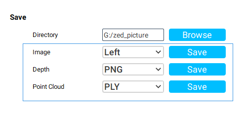
Hi! With the zed depth viewer, I can obtain and save RGB photos, depth maps and point clouds of a scene.
KKP0{UJU{I6FF_0~5$D

My question is, how to obtain the distance of a pixel according to these saved images?
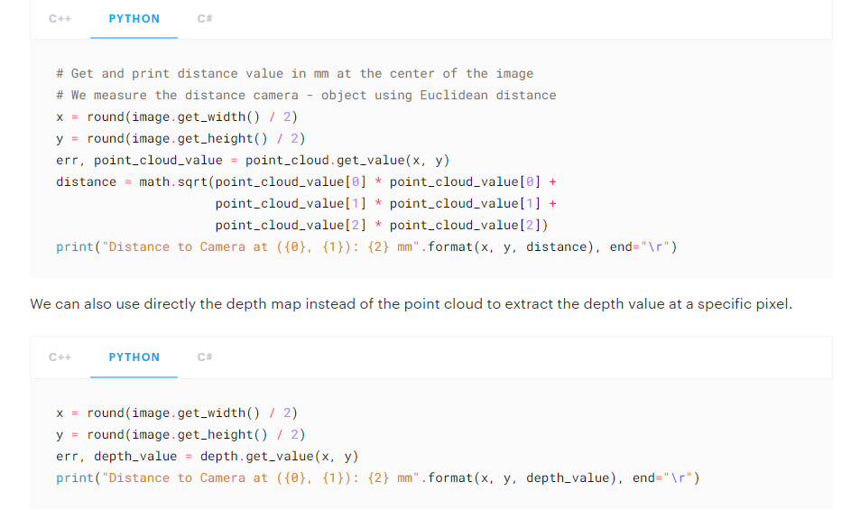
The example on the official website is to run a ZED camera to obtain the distance information of a certain point in real time.

Can zed2 read the distance information of a certain depth image in the system?
Thanks for a lot!

Hi @zsw360720347
you cannot obtain this kind of information from a PNG saved with ZED Depth Viewer. That PNG contains visual information, no depth data.
You can instead parse the PointCloud files (PLY), you can find many example on the internet to perform this operation by using the Python language

  • Have you solved this problem? I have the same problem